Written by Dr Khalid Zanudin
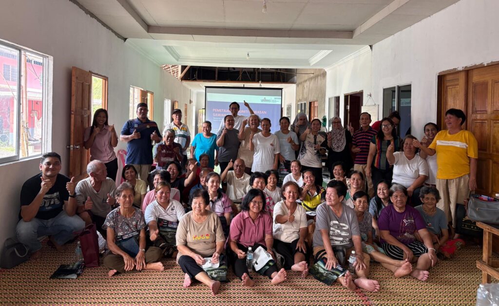
The Faculty of Social Sciences and Humanities (FSSH) recently conducted a three-day fieldwork programme in Selepong, Sri Aman, from 14 to 16 August 2026, to explore how local spatial knowledge of paddy areas can be documented through community-based digital mapping. The fieldwork activities, conducted on 14 and 15 August, brought together researchers and students from FSSH, as well as Tuai Rumah and local smallholders from seven kampung in Selepong, for a series of activities involving KoboToolbox training, community mapping, Focus Group Discussion (FGD), Participatory Rural Appraisal (PRA) and community validation.
The fieldwork was led by Dr Khalid Zanudin and Dr Christopher Perumal, with the participation of six students, namely Najeehah Mohamad Mahidin, Shazni Awang Samat, Muhammad Zuhair Hasmi, Ursula Leman Sengiang, Shareen Amelly and Muhammad Hazim Yusri.
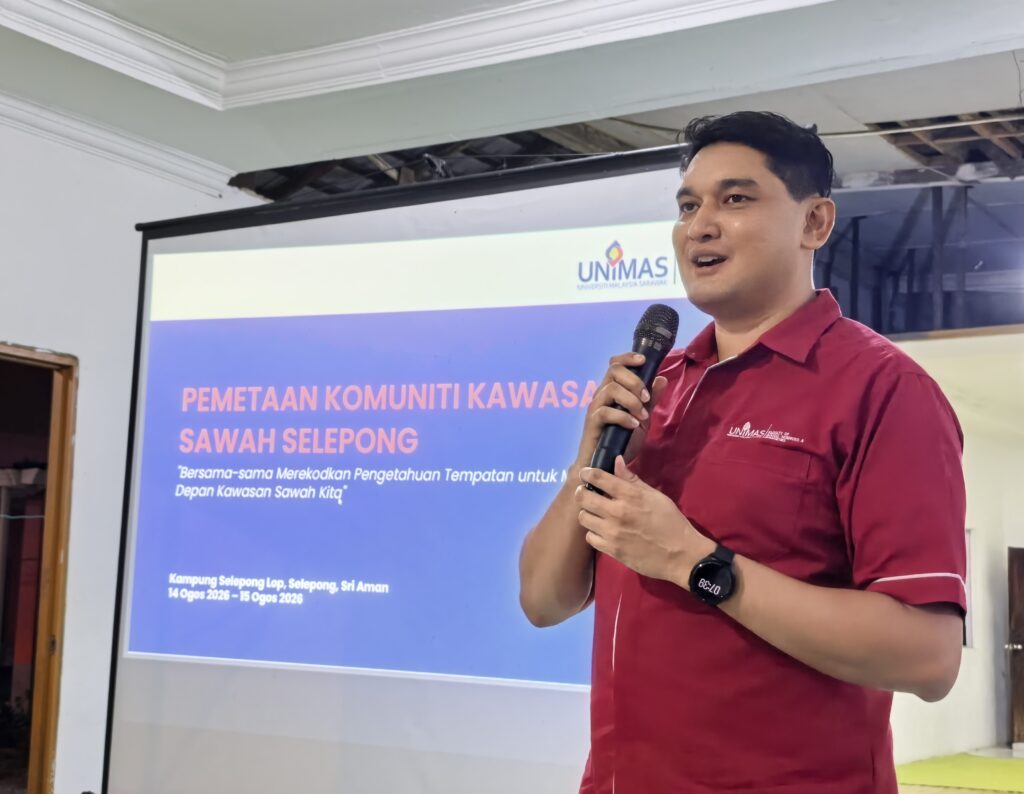
The programme was part of a research study examining how participatory mapping can support the documentation and integration of local spatial knowledge into the spatial governance of paddy areas in Sarawak.
Introducing Digital Mapping to the Community
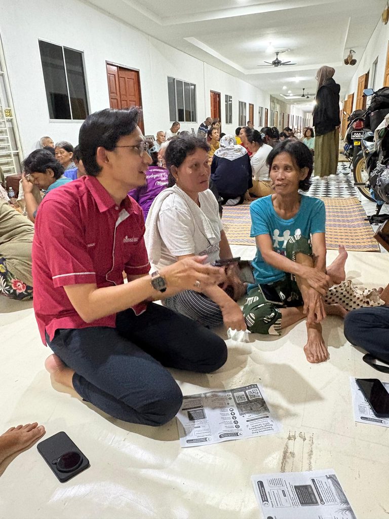
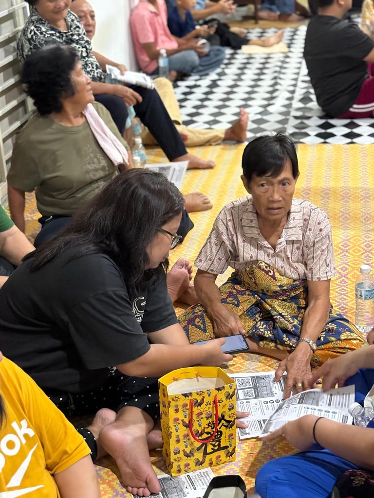
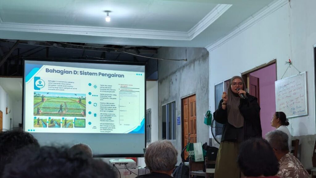
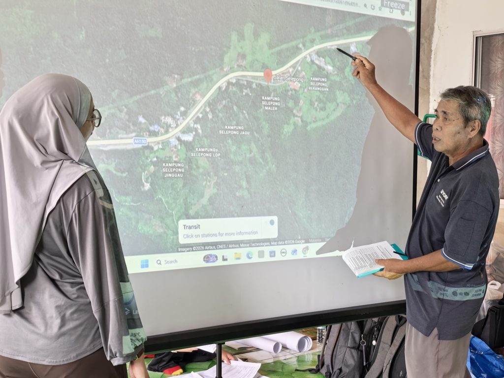
The programme began with a community briefing and hands-on workshop on KoboToolbox, a mobile-based digital data collection platform used by the research team to capture local spatial information during the fieldwork. The workshop introduced participants to the basic functions of KoboToolbox and allowed community members to become familiar with recording locations and information about paddy plots using mobile devices.
Community Knowledge Meets Digital Technology
Rather than requiring each participant to map only their own plot, the research team adopted a community-based mapping approach, where participants collectively identified paddy plots that were accessible and widely known among members of the community. This approach recognises that knowledge about a particular paddy plot may be shared among the plot owner, family members, neighbours, Tuai Rumah and other community members with direct knowledge of the area.
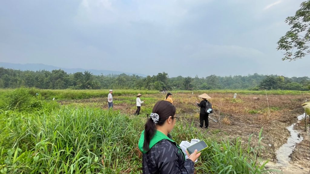
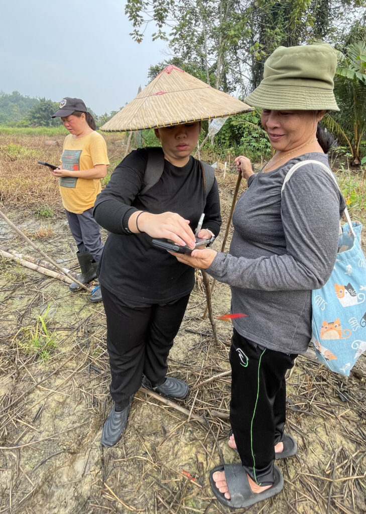
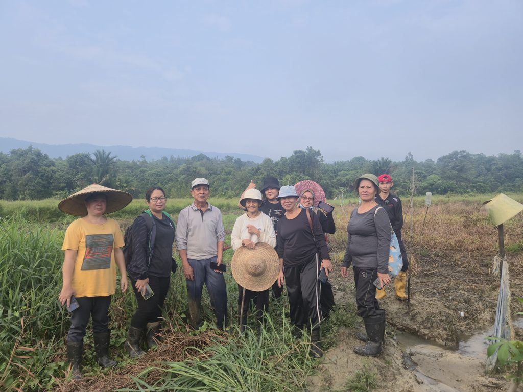
On the second day, the research team and community members moved into the paddy areas to conduct the community mapping activity. Participants worked in small groups to identify selected plots and record their locations and relevant information using KoboToolbox. The activity provided an opportunity for participants to share their knowledge while the research team documented the information in a structured digital format.
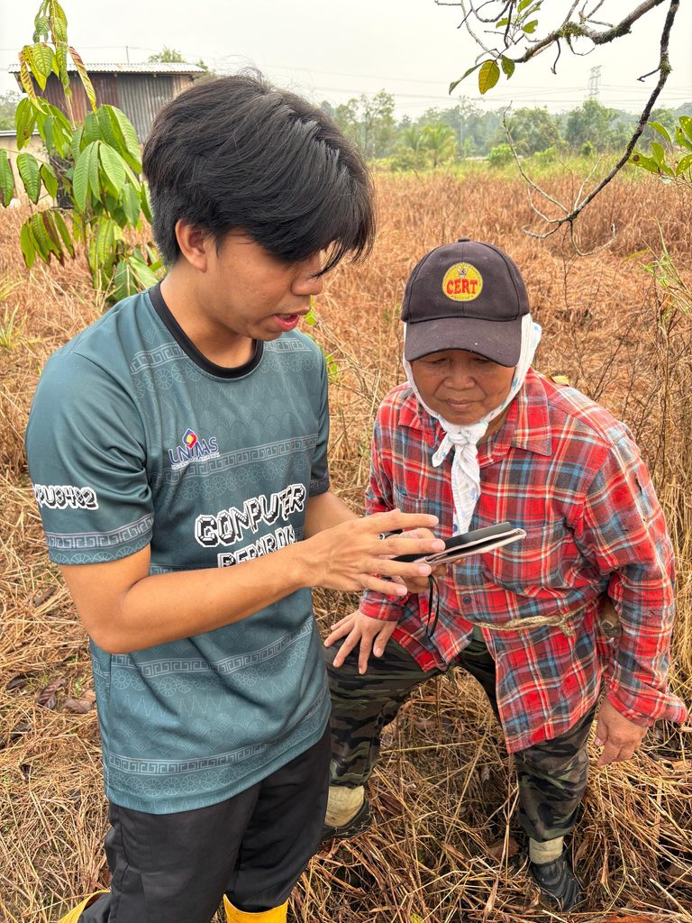
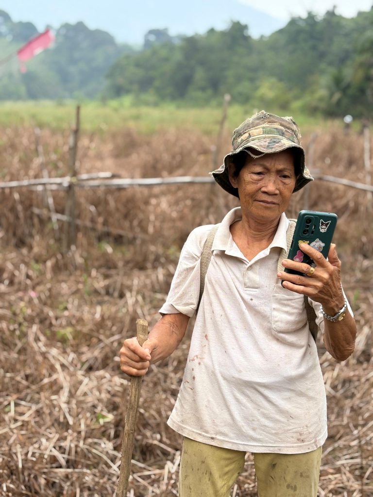
The mapping focused on key aspects of local spatial knowledge, including plot boundaries, ownership, cultivation status and traditional irrigation. The activity also showed how accessible digital technology can be used to document knowledge that has traditionally been passed down through community experience and oral communication.
Learning Through Community Discussion and PRA
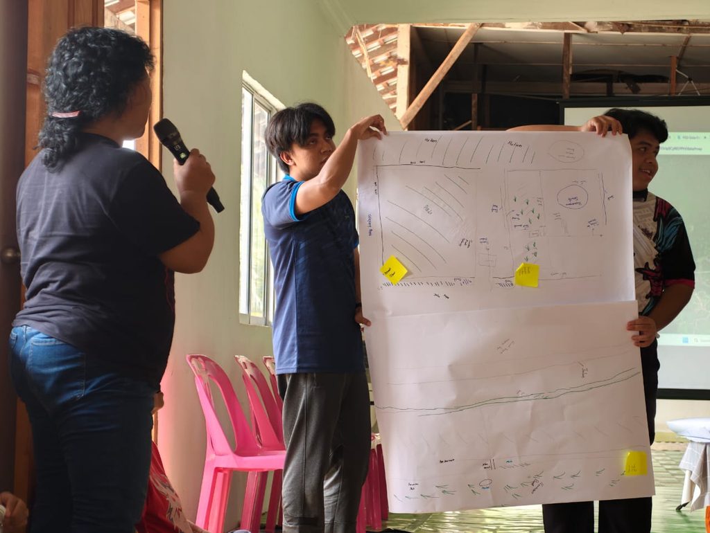
Following the field mapping activity, participants took part in a Focus Group Discussion and Participatory Rural Appraisal session. The discussion explored the history and characteristics of the local paddy landscape, including land ownership, cultivation practices, irrigation, changes in the paddy areas and issues faced by the community. Participants also developed a community sketch map using simple materials such as mahjong paper, marker pens and sticky notes.
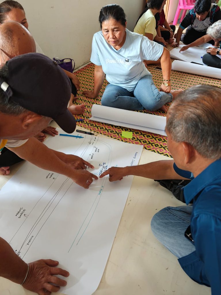
The activity allowed community members to represent their paddy landscape based on their collective knowledge and experience, providing another perspective alongside the digital information captured through KoboToolbox. For the researchers and students, the fieldwork also provided an opportunity to gain practical experience in community engagement, qualitative data collection, participatory research and digital spatial mapping.
Putting Community Knowledge on the Map
Another component of the fieldwork was the community validation process. The research team presented the spatial information generated through the KoboToolbox mapping activity to community participants for their review and assessment. Participants were invited to consider whether the information recorded through the digital mapping exercise adequately represented their knowledge of the paddy areas.
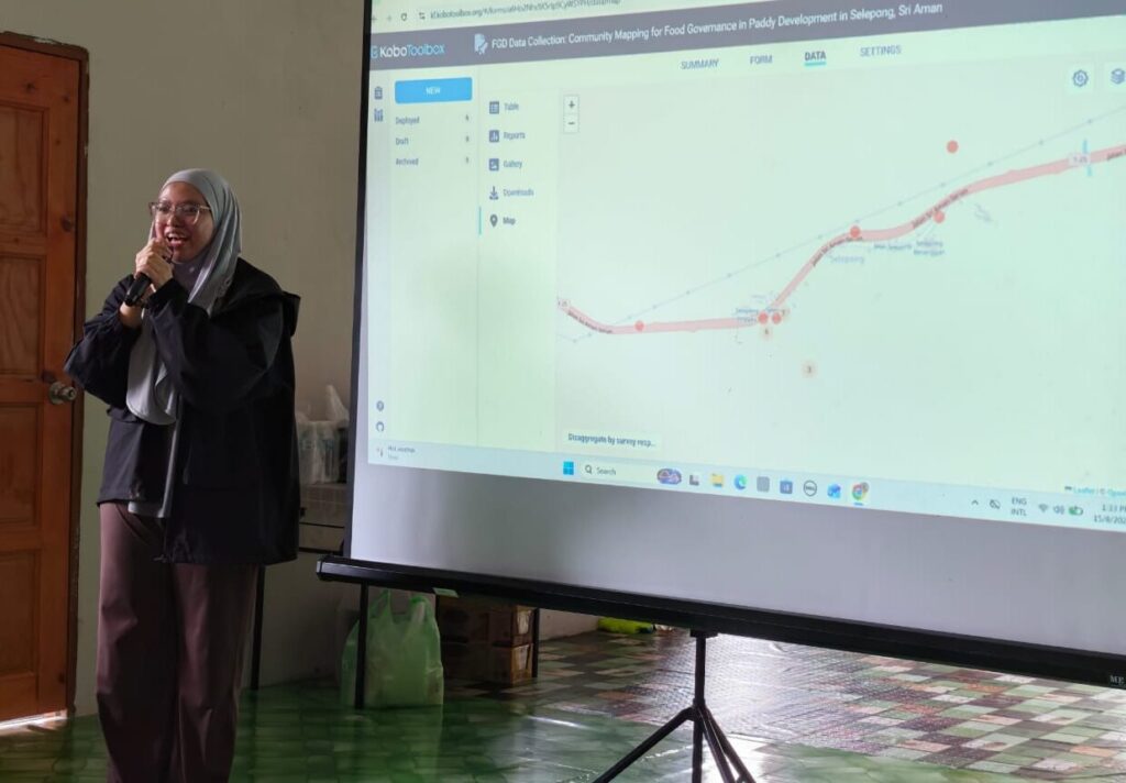
The validation process also explored participants’ views on the usefulness of digital tools such as KoboToolbox in documenting local spatial knowledge and preserving information that may be valuable to future generations. This process ensured that information collected from the community was also reviewed and validated by community members themselves.
Strengthening Community Participation in Spatial Planning
The fieldwork provided an opportunity to explore the relationship between local knowledge, digital spatial information and formal planning processes. While government agencies maintain various forms of official information relating to agricultural development, irrigation, infrastructure and local development, communities may possess detailed knowledge derived from their everyday experience of the landscape.
The research therefore seeks to understand how local and official sources of information can complement one another. Community-generated information may provide an additional source of spatial knowledge that can be documented, validated and potentially shared with relevant agencies.
A Collaborative University–Community Effort
Throughout the three-day programme, the research team worked closely with the Tuai Rumah and local smallholders to ensure that the activities were conducted in an accessible and participatory manner.
The research team expressed their appreciation to the Tuai Rumah and communities of Selepong for their hospitality, cooperation and willingness to share their knowledge and experiences throughout the fieldwork. Rumah Panjang Kampung Selepong Lop served as the venue for the community briefing, KoboToolbox workshop, FGD, PRA and related activities.
Towards Digital Documentation of Local Knowledge
The fieldwork formed part of the research team’s efforts to explore the potential of a Participatory GIS (PGIS) approach and accessible digital technologies in supporting community participation in spatial documentation. The data and feedback collected during the fieldwork will subsequently be analysed together with information from relevant government agencies to further understand the relationship between local spatial knowledge, official spatial information and formal spatial governance.
Overall, the research explores how digital tools such as KoboToolbox can help connect local community knowledge with formal information held by government agencies. This may support a more inclusive approach to spatial governance by providing communities with opportunities to contribute their knowledge and experience to the understanding and management of their local environment.
FSSH – A Partner for Social Change